As of today, out of season, returns ~February. Earth Exhibit tracks the live conditions and flags it the moment it is on.
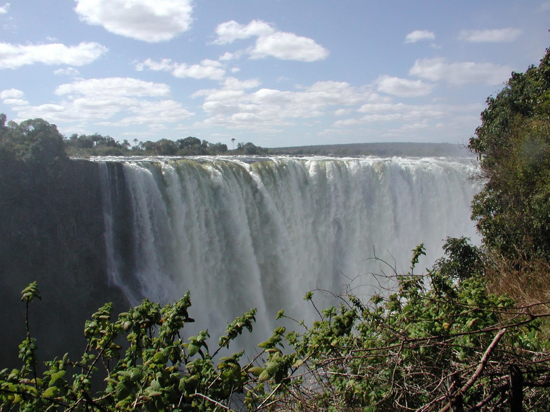
Victoria Falls (Mosi-oa-Tunya) reaches its highest flow each year when the Zambezi River carries the wet season’s flood through the basalt curtain.
The result is enormous volume, maximal spray and thunderous sound visible for miles.
Peak volumes typically occur after the rainy season as upstream runoff reaches the falls.
Where to see it
A taste of where to see it. The full map, exact coordinates and the best timing for each spot live in the app.
| Viewing spots |
|---|
| Victoria Falls National Park - Rainforest Trail (Zimbabwe side) |
| Mosi-oa-Tunya National Park - Knife Edge / Zambia viewpoints |
| + 2 more spots, with exact coordinates and timing, in the app → |
This is the short version
This page shows a taste. The app has the full list of where to see this, the exact timing, and live conditions for 1,000+ natural phenomena worldwide, so you know the moment one is genuinely worth the trip.