As of today, peak season now, through ~September 30. Earth Exhibit tracks the live conditions and flags it the moment it is on.
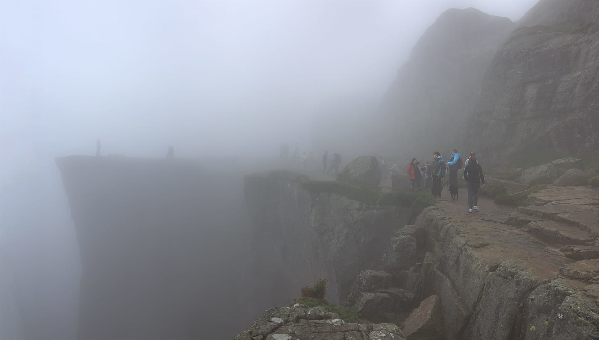
Preikestolen (Pulpit Rock) is a steep cliff rising 604 metres above Lysefjorden in Rogaland county, southwestern Norway.
Its flat summit measures roughly 25 by 25 metres and drops vertically into the 42 km-long fjord.
Under certain atmospheric conditions, typically on calm mornings when cold air settles in the fjord valley while warmer air sits above, a temperature inversion traps fog inside the fjord.
From the cliff top, this creates a dramatic scene where the viewer stands above a smooth white sea of clouds with mountain peaks poking through like islands.
These fog inversions are most common in autumn and spring, when temperature differentials between the fjord surface and the plateau are greatest.
Where to see it
A taste of where to see it. The full map, exact coordinates and the best timing for each spot live in the app.
| Viewing spots |
|---|
| Preikestolen (Pulpit Rock) Summit Plateau |
| Preikestolhytta Trailhead |
| + 1 more spot, with exact coordinates and timing, in the app → |
This is the short version
This page shows a taste. The app has the full list of where to see this, the exact timing, and live conditions for 1,000+ natural phenomena worldwide, so you know the moment one is genuinely worth the trip.